🗺️ One of the things I try to do when on the island (or anywhere remote) is update OSM with new amenities, or delete ones that have closed.
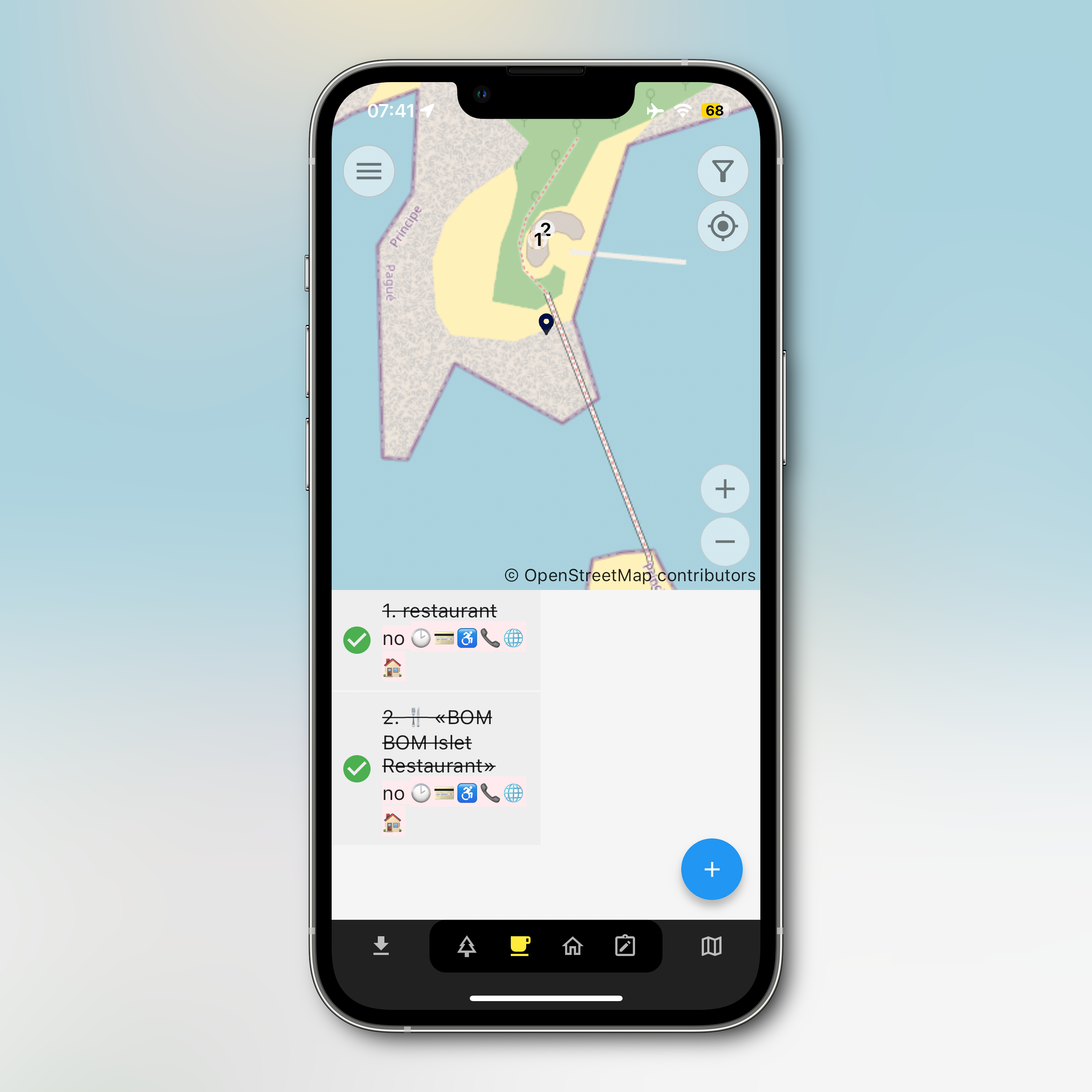
I’m using Every Door at the moment. It works, but pretty it is not. Alternatives? Anyone?
夫|パパ|フォトグラファー
🗺️ One of the things I try to do when on the island (or anywhere remote) is update OSM with new amenities, or delete ones that have closed.
I’m using Every Door at the moment. It works, but pretty it is not. Alternatives? Anyone?